
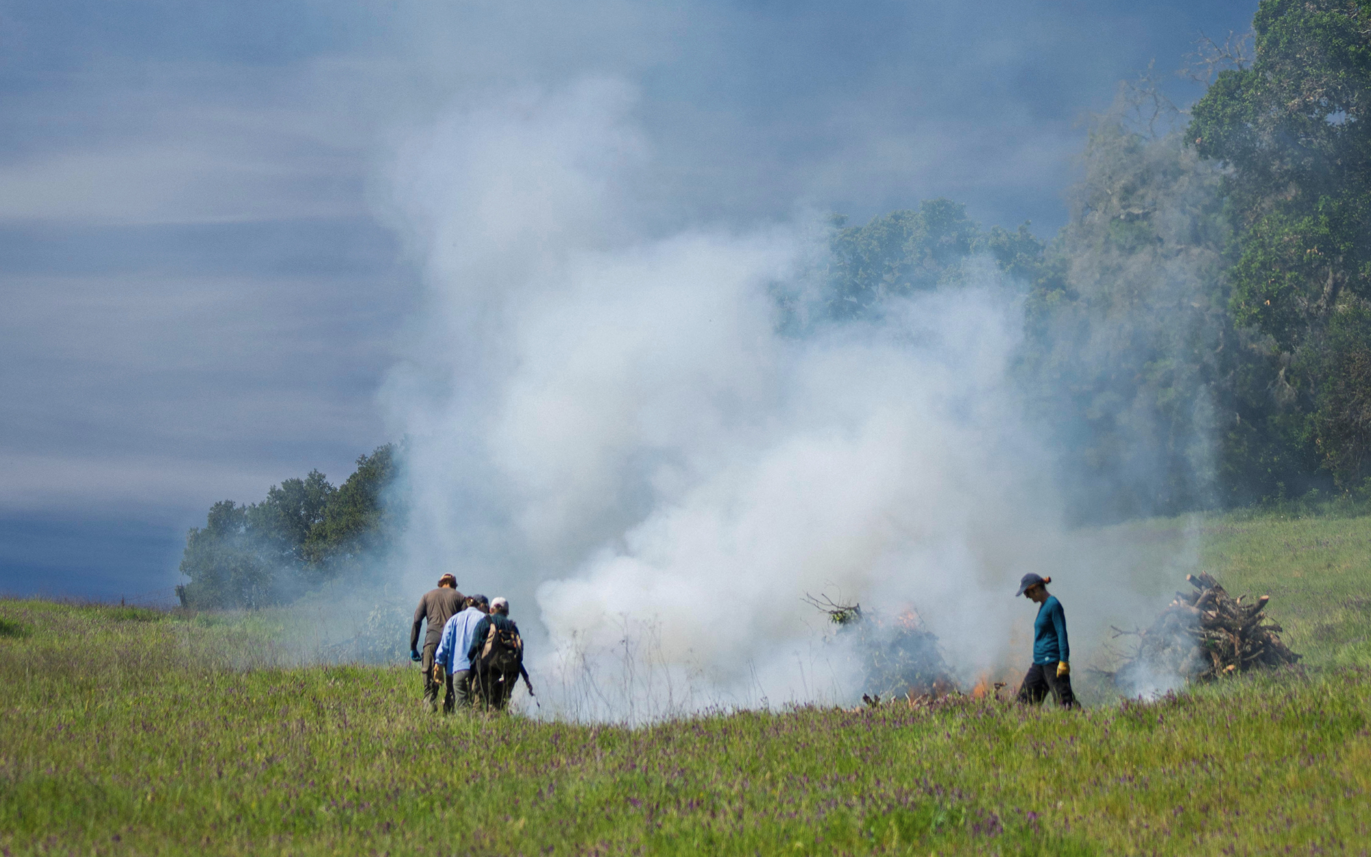
March, 2026—Sonoma Ecology Center’s Restoration Team, supported by volunteer stewards from the Good Fire Alliance, conduct pile burns as part of year-round fuels reduction work at Van Hoosear Wildflower Preserve. Photo by Conor Hagen
It’s clear with the outbreak of the Ledson Fire earlier this month, which forced the temporary evacuation of our team at Sugarloaf State Park and many of our neighbors, and the Woodside Fire, which has burned over 150 acres along the Sonoma Coast, that this year is shaping up to be another active fire season. In response to both fires, firefighters from the California Department of Forestry and Fire Protection (CAL FIRE) Sonoma-Lake-Napa Unit, along with mutual aid networks, volunteers, and community organizations like Sonoma Community Animal Response Team (CART), moved quickly—safely evacuating residents, protecting people and animals from injury, and avoiding widespread structural damage. As of today, the Woodside Fire is nearly contained. But both incidents reinforce the same truth: the broader pattern of longer, drier seasons and more volatile fire weather that we’ve seen over the past decade remains the new normal. A predicted moderate to extreme El Niño has the potential to release vast amounts of stored ocean heat into the atmosphere, intensify storms and create more extreme conditions.
While the risk of large-scale fire looms large, we also know that fire in Sonoma Valley is not new. For thousands of years, our landscape has evolved with regular, low-intensity burns that shaped healthy forests, open grasslands, and resilient ecosystems.
“We looked at the land really carefully after the 2017 fires, and it was clear that these lands are adapted to fire. Our trees and valleys actually thrive after fire. There is more wildlife after fire than in a place that had kept it out for 50 years” reflects longtime SEC biologist and senior project manager Caitlin Cornwall.
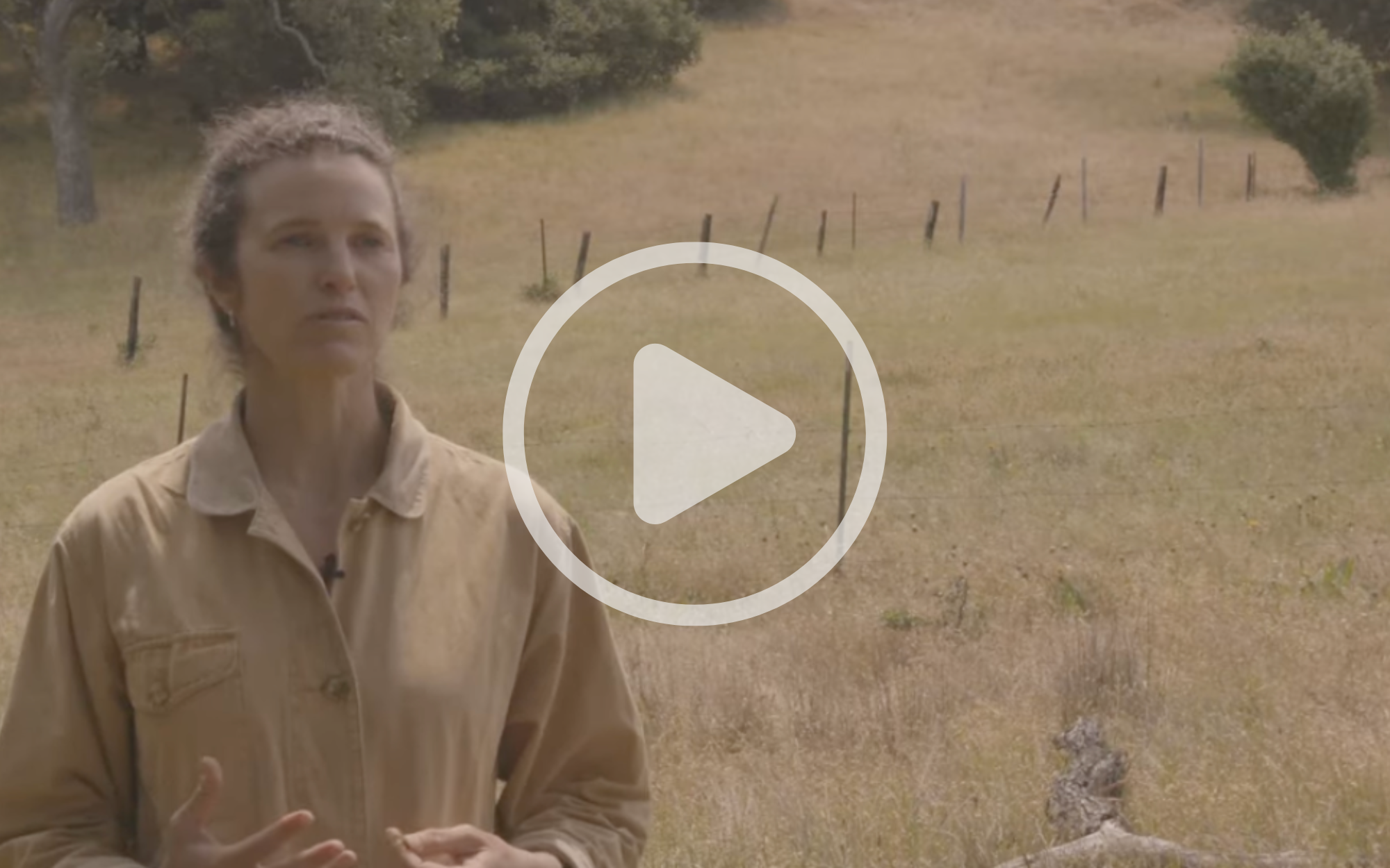
The challenge we face today is not simply fire itself, but the conditions that have led to too much fuel in our forests and wild lands, an imbalance in our local ecosystems, and a growing distance between people and the land. “Nature is fine with fire,” Caitlin reiterates, “what we need to relearn is how to have a culture that understands fire, respects it, and uses it so it’s not a thing of terror.”
Sonoma Ecology Center takes a distinctly ecological and community based approach to fire resilience, and it is ingrained in the research, restoration and land management work we do year round. “Our vision is that Sonoma Valley is a place where people, land and wildlife can thrive–that is what creates true security for a community: living in a way that maintains and stewards the resources of that place so that they’re there for the long term,” Caitlin explains. Maintaining a healthy ecosystem, forests and watershed will help protect our communities from the most destructive impacts of fire.
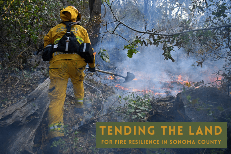
This season, we’re looking forward to sharing more with you about the work SEC does to increase fire resiliency, from prescribed burns and habitat restoration to climate-resilient landscaping, watershed protection, and education. One educational resource we are particularly proud to share is the website Tending the Land. Made in collaboration with Pepperwood, Occidental Arts and Ecology Center, and many additional contributors, Tending the Land is a valuable guide for anyone who plays a role in land stewardship in Sonoma County and is looking to increase fire resilience and water conservation, enhance wildlife habitat and more. We hope this will be something you can reach for as you make decisions that impact your own land, our community, and the broader ecosystem we all share and depend upon.
As a community-based organization, the reality of fire is deeply personal and so is our commitment to helping our neighbors stay prepared and informed. Consider downloading the app Watch Duty which provides real-time fire information, including prescribed burn alerts, and reviewing your own emergency plan. You can also sign up for Sonoma County’s Emergency Alerts, and familiarize yourself with your evacuation zone using the SoCo Emergency Evacuation Map.