Data & Mapping
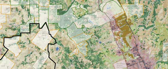
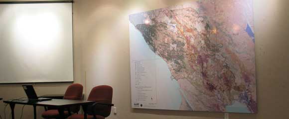
The beautiful, compelling maps we create using GIS allow us to visualize our world, see patterns and make conclusions based on scientific data.
In 1993, when GIS (Geographic Information Systems) was still new, Sonoma Ecology Center spearheaded its use in producing the first digital map of parcels in Sonoma Valley. Today, we use GIS, cartographic skills, and an extensive collection of local spatial data to produce maps that inform work in local and national restoration, stewardship, and conservation action.
National Fishery Recovery
SEC handled the data manipulations and data storage for massive federal fisheries recovery projects (National Oceanic and Atmospheric Administration plans for steelhead and salmon in the Central California Coast) in 2011 and 2012.
Sediment Pollution Control Planning
SEC was the first community organization to research and monitor for a state-recognized sediment pollution control plan (the sediment TMDL for the watershed), in 2006. Learn more about our sediment research and analysis.
Examples of Our Work
- Sonoma Ecology Center’s Sonoma Valley Knowledge Base – A comprehensive library of scientific, historical, and even poetic materials about the Sonoma Valley Watershed. Explore it!
- SEC 25th Anniversary Story Map – A look at Sonoma Ecology Center’s many accomplishments over a quarter-century of working to improve ecological health in Sonoma Valley.
- Sugarloaf Story Map – Since 2011, Sonoma Ecology Center has managed Sugarloaf Ridge State Park. We continue to build trails and host community and educational events in keeping this cherished public park open and thriving.
- Delta Arundo Mapping – The highly invasive plant species Arundo donax was mapped throughout the Delta as part of a Sacramento/San Joaquin Delta Conservancy eradication effort.
- Watershed Health Scorecard – This scorecard uses scientific data to evaluate the health of the Sonoma Creek Watershed.
We have worked with a wide variety of clients, including university researchers, conservation nonprofits, government agencies, and private landowners. Our recent clients include NOAA Fisheries, Golden Gate National Park, UC Davis Road Ecology Program, Marin Municipal Water District, Sonoma County Agricultural Preservation and Open Space District, Sonoma Land Trust, Sonoma County Water Agency, and Morro Bay National Estuary Program.
Data & Mapping Staff

Jack Hines
GIS Specialist
Jack first worked for Sonoma Ecology Center as a GIS technician in the late 1990s. He left in 2000 to work in soundscape ecology with Bernie Krause. In 2004 Jack joined the faculty at Hanna Boys Center, where he was the music teacher for the next 14-plus years. In 2018 he returned to GIS work, which brought him back to SEC. Jack brings with him a broad understanding of the interplay between art, science, education and interpersonal communication.
Partners
- Scientists and data analysts at UC Berkeley
- Point Blue Conservation Science
- Pepperwood Preserve
- Sonoma County Agricultural Preservation & Open Space District
- Sonoma Land Trust
- Sonoma County Water Agency
- Sonoma Resource Conservation District
- Regional Water Quality Control Board