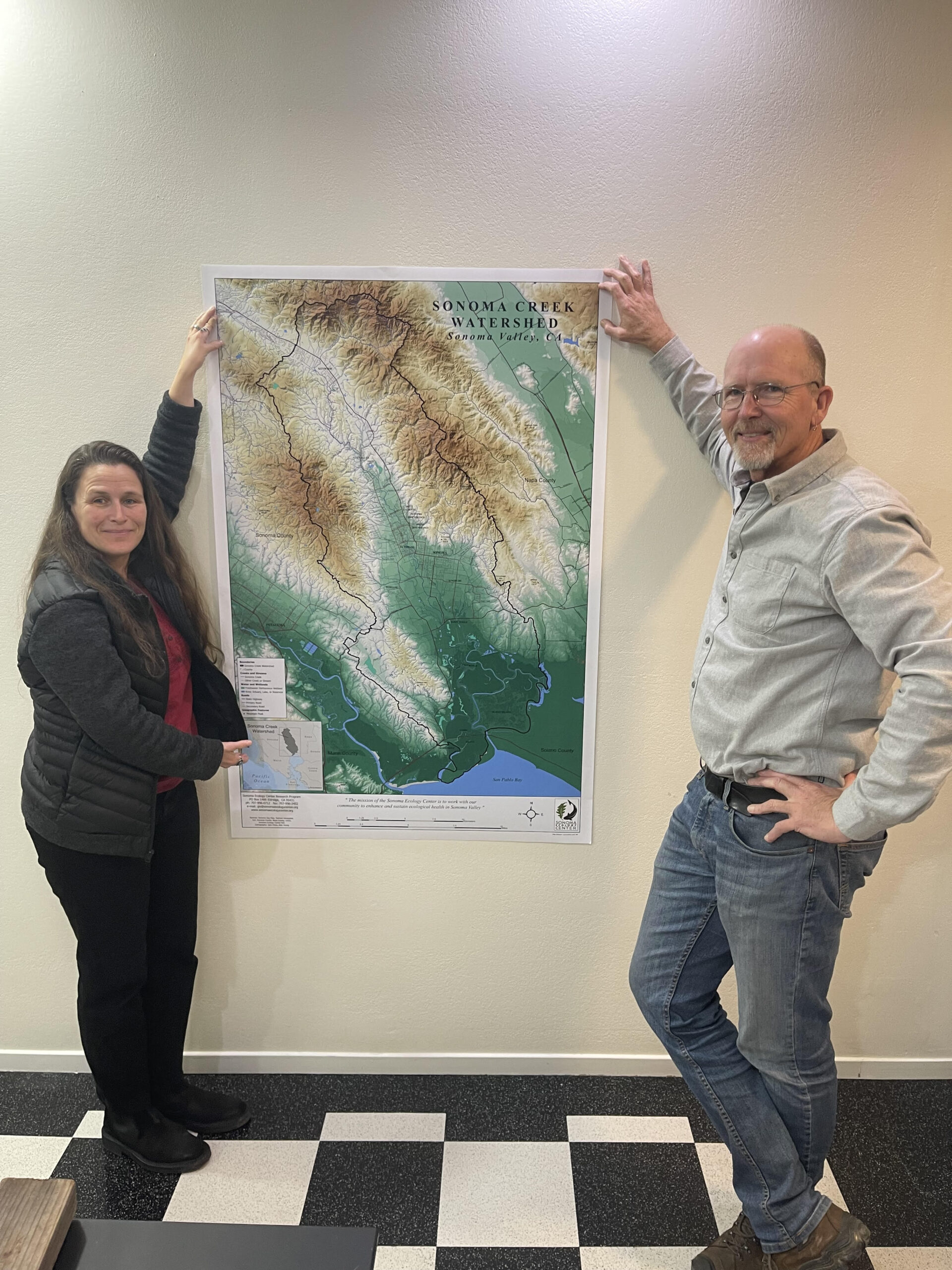
Maps of the Sonoma Creek Watershed
Our watershed maps are both a thoughtful keepsake and a resource for learning about the region you call home. Your purchase supports the Sonoma Ecology Center’s Research Team, helping to protect and preserve the watershed for generations to come. Spread joy and make a difference with a gift that truly gives back.
Maps are available in three designs (now featuring a NEW Sonoma Creek Aerial Imagery Map) and three sizes, and are available for pickup at the Sonoma Ecology Center Office in Sonoma. Expect a prompt email from us to arrange pickup of your purchase.
Click here to explore a digital map of the Sonoma Valley watershed, created by Sonoma Ecology Center’s GIS Specialist Jack Hines.
Tips for interacting with the digital map: as you hover over the layers in the table of contents to the left, you can click on the eye icon to turn the layers on and off. The map starts with a view of our subwatersheds, and as you zoom in the creek layer will appear. Zoom a little further in and labels for creeks and streams will appear. You can hold down shift and then click and drag a box around the area you want to zoom into. Click the house icon in the lower right to zoom back out to the full watershed.

Order Online, Pick Up Locally
Watershed Maps are available now and can be collected from our Sonoma office upon arrangement.
Order online and pick up in person Monday through Thursday, 9:00 am-4:00 pm (closed on holidays).
To purchase: click below to select your map, size, and process payment securely. Expect an email from us within 3 business days to coordinate timing and pickup. If faster service is required, please contact Steven Lee [email protected] to discuss options.