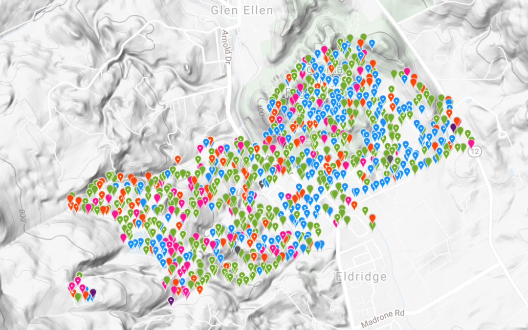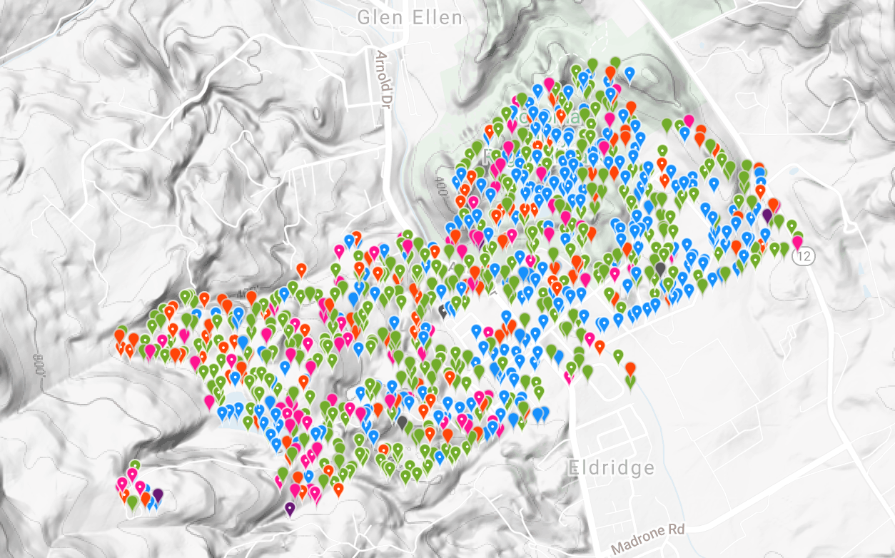
Levitis and a band of SEC volunteers and local naturalists, among them a budding herpetologist, an California Academy of Sciences staff member, and a top iNaturalist observer for California, gave SEC insights into what’s going on ecologically on the SDC site. The mapping project uncovered a breadth of biodiversity that was unexpected and identified several rare species that were undocumented in the area before. “Previous assessments we’d been involved with for the SDC were based on pre-existing lists of species that were assumed likely to be there, instead of being based on actual observations on the property. There could have been all kinds of species missing from those lists that then would be hard to protect during development when it happens. The iNaturalist project turned out to be more fruitful than we expected, both in the number and variety of organisms we observed” says Caitlin Cornwall, SEC Senior Project Manager, who assisted Levitis on the mapping project.

Levitis adds, “SEC hopes to have a say in where housing is built on SDC, and how much, and also to directly aid in habitat restoration to improve groundwater recharge and value for wildlife.” Levitis is comforted by the fact that none of the three previously proposed plans suggested development close to or on where any of the rare or endangered species have been observed. “But one of the three plans proposed putting in a road along an old road which goes right through western pond turtle habitat,” says Levitis. “Our observations have been shared with the folks making the plans. Any development there needs to be carefully examined, and likely avoided.”
SEC submitted the data from Levitis’s iNaturalist project to Sonoma County’s planning department and will submit it again during the upcoming EIR process for the SDC Specific Plan. “What we have is irreplaceable data. No one else has anything like it,” says Cornwall. “Up to now SEC has used this data to make the general statement that the property has incredible natural resources that need to be protected,” says Cornwall. “Where this data will really shine is a few steps down the planning road, when it comes time to put onto planning maps development features like trails, benches, buildings, roads, and lights.”


