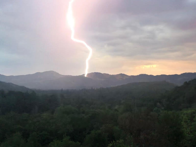
An unprecedented lightning storm has kicked off Sonoma County’s fire season even earlier than usual this year, forcing everyone to pay closer attention to fire, weather, air quality and other conditions in order to stay informed and stay safe.
That’s why we’re posting this updated list of links to real-time information intended to help locals monitor the status of nearby wildfires, air quality, weather changes and power shutoffs.
Hot weather, dry vegetation and increased wind speeds always mean greater fire danger, and we urge everyone to remain careful and conscientious throughout the fire season when it comes to potential fire sources. Even the tiniest spark can start a major conflagration.
We’re here to support our community, and know that you are too. Please stay safe!
Wildfires
- Sonoma County Fire Activity Map with evacuation areas
- CalFire incidents main page
- CalFire “Are You Ready” for Wildfire guide
- CalFire LNU Lightning Complex Fire updates
- National Wildfire Coordinating Group fire map
- North Bay mountaintop camera feeds
Weather & Air Quality
- National Weather Service forecast (includes weather advisories)
- National Weather Service forecast summary
- Sugarloaf Ridge State Park weather and air conditions
- EPA AirNow air quality index
- EPA AirNow fire and smoke map
- National Weather Service air quality forecast map
- PurpleAir air quality map
Power Shutoffs
- Sonoma County Power Shutoff Map
- PG&E power shutoff news and general info page
- Sonoma Ecology Center power shutoff tips
Emergency Preparedness
- Sonoma County emergency information and preparedness
- City of Sonoma power shutoff preparedness
- City of Sonoma coronavirus resources
- City of Sonoma food security resources

